Project Info
Project Description
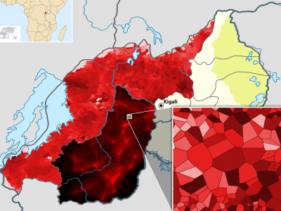
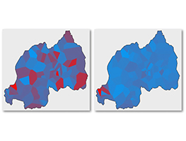
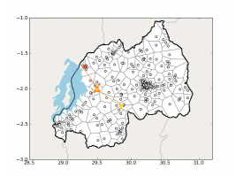
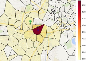
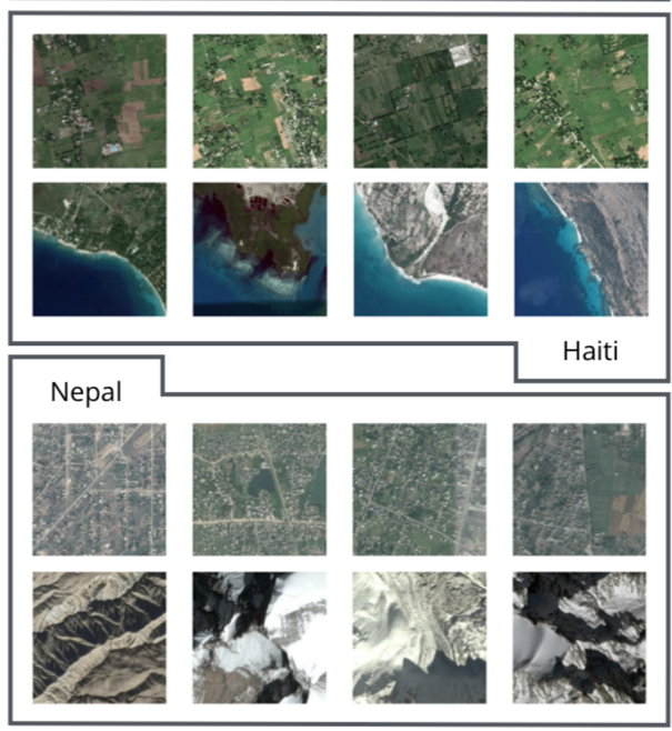
In many developing country environments, it is difficult or impossible to obtain recent, reliable estimates of human development. Nationally representative household surveys, which are the standard instrument for determining development policy and priorities, are typically too expensive to collect with any regularity. Recently, however, researchers have shown the potential for remote sensing technologies to provide a possible solution to this data constraint. In particular, recent work indicates that satellite imagery can be processed with deep neural networks to accurately estimate the sub-regional distribution of wealth in sub-Saharan Africa.
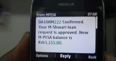
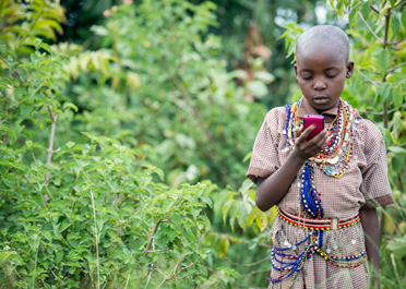
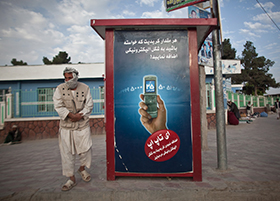
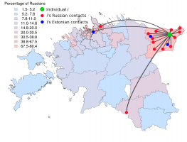
In these projects, we explore the extent to which related approaches — of using deep neuralnetworks to process satellite imagery and other social media and telecommunications data — can be used to measure a broader set of human development indicators, in a broader range of geographic contexts. We are also investigating the extent to which such methods can be used to accurately infer changes over time in welfare, and provide a new perspective on program monitoring, targeting, and impact evaluation.
Datalab Faculty
Joshua Blumenstock
Collaborators
Guanghua Chi (UC Berkeley), Andrew Head (UC Berkeley), Marshall Burke (Stanford)
Status
Ongoing
Publications
- Head, A., Manguin, M., Tran, N., Blumenstock, J.E., 2017. Can Human Development be Measured with Satellite Imagery? in: Proceedings of the Ninth ACM/IEEE International Conference on Information and Communication Technologies and Development, ICTD ’17. ACM, Lahore, Pakistan.
- Steele, J.E., Sundsøy, P.R., Pezzulo, C., Alegana, V.A., Bird, T.J., Blumenstock, J.E., Bjelland, J., Engø-Monsen, K., Montjoye, Y.-A. de, Iqbal, A.M., Hadiuzzaman, K.N., Lu, X., Wetter, E., Tatem, A.J., Bengtsson, L., 2017. Mapping poverty using mobile phone and satellite data. Journal of The Royal Society Interface 14, 20160690. https://doi.org/10.1098/rsif.2016.0690